VISITING LAKE PLACID: Ample views from the summit of Ampersand Mountain
- Ampersand Mountain’s open summit offers expansive views. Looking north, Middle Saranac Lake is seen at center on Oct. 3, 2023, with portions of Upper Saranac Lake visible to its left. (News photo — Chris Gaige)
- Chris Gaige smiles on a long boardwalk about 0.8 miles into the woods from state Route 3 along the trail to Ampersand Mountain in the town of Harrietstown on Tuesday, July 8. (News photo — Chris Gaige)
- A gently inclined stretch of the Ampersand Mountain trail in the town of Harrietstown on Tuesday, July 8. (News photo — Chris Gaige)
- Ampersand Lake and the Seward Range — which includes, from left, Seymour, Seward, Donaldson mountains and Mount Emmons; all of which are Adirondack High Peaks above 4,000 feet in elevation — are seen looking to the south from Ampersand Mountain’s summit on Oct. 3, 2023. (News photo — Chris Gaige)
- A stream crossing is seen along the Ampersand Mountain trail in the town of Harrietstown on Tuesday, July 8. (News photo — Chris Gaige)
- The Ampersand Mountain trailhead adjacent to state Route 3 is seen on Tuesday, July 8 in the town of Harrietstown. (News photo — Chris Gaige)
- A red trail marker is seen along a level stretch of the Ampersand Mountain trail in the town of Harrietstown on Tuesday, July 8. (News photo — Chris Gaige)
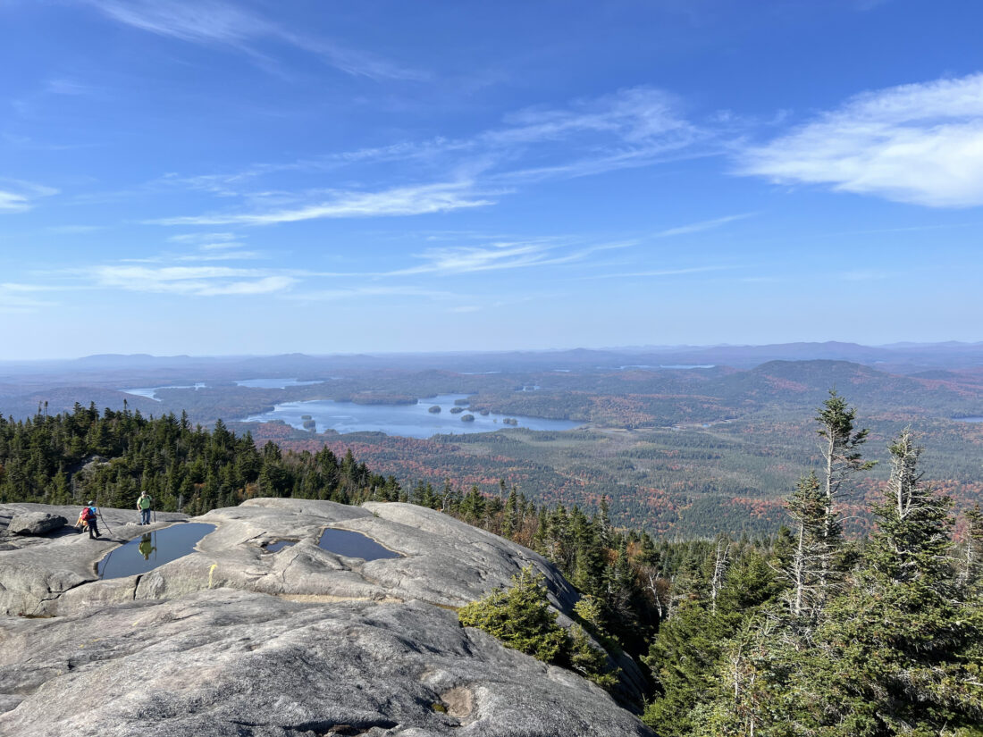
Ampersand Mountain’s open summit offers expansive views. Looking north, Middle Saranac Lake is seen at center on Oct. 3, 2023, with portions of Upper Saranac Lake visible to its left. (News photo — Chris Gaige)
SARANAC LAKE — Those driving west from Lake Placid toward Tupper Lake on nice summer days will have probably noticed dozens of cars parked at a trailhead along state Route 3 about 16 miles from the village of Lake Placid.
Having hiked the trail, I can attest that the trail’s popularity is backed up by one of the prettiest summits I have seen in the Adirondacks. Located about 30 minutes by car from downtown Lake Placid, it’s worth the trip. Ampersand Mountain offers spectacular 360-degree views of the nearby High Peaks to the south and the Saranac chain of lakes to the north, with rugged Adirondack woodlands sprawling out for miles in all directions.
Hiking it isn’t exactly a walk in the park — figuratively, not literally. The trail’s elevation profile resembles that of an exponential graph from eighth grade math class. The further one plods along, the steeper the trail gets, with a brief respite of flat just before climbing up the open portion of the summit. What starts off as a gentle walk through mixed forest turns into a steady uphill, with some steep sections demanding agility near the top.
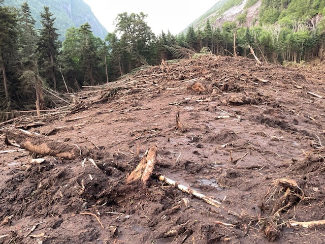
The trail climbs about 1,800 feet over about 2.8 miles one-way, with about 1,300 feet of that ascent occurring in the last mile. While there are some signs of erosion in the steeper areas unfortunately inherent to most trails in the Adirondacks, Ampersand Mountain’s trail is well-maintained for the most part, thanks to the diligent work of trail crews over the years. The trail is also well-marked, with red “Foot Trail” discs consistently placed en route, along with marking blazes along the rock near the top.
Caution is needed at the trailhead. As mentioned, it begins along state Route 3, with a 55 mph speed limit. There is a small parking lot on the opposite side of the highway as the mountain’s trail. That lot shares access with a trail to Middle Saranac Lake, which is north of state Route 3. The trail to Ampersand requires crossing the highway or parking along its shoulder if the lot overflows, as it frequently does on busy days.
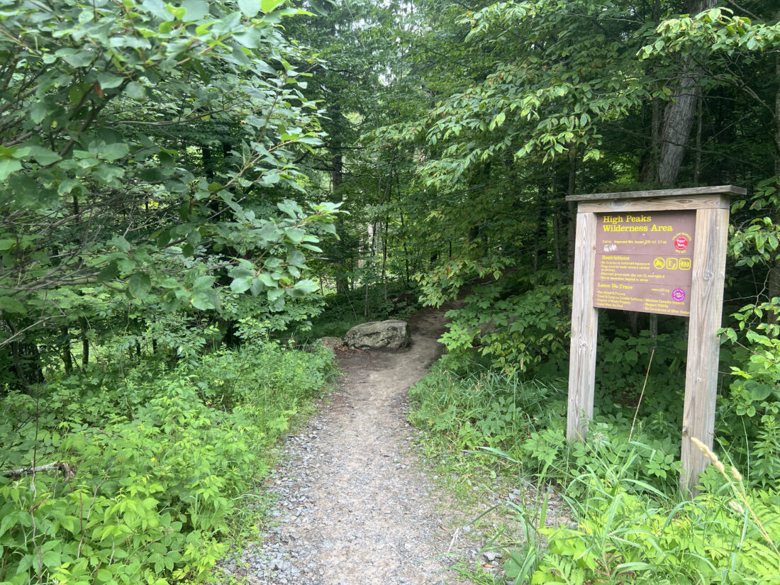
The Ampersand Mountain trailhead adjacent to state Route 3 is seen on Tuesday, July 8 in the town of Harrietstown. (News photo — Chris Gaige)
Heading into the woods, hikers are greeted by a sign informing them that they are entering the High Peaks Wilderness — and noting some of the regulations that apply within that zone. About 100 feet beyond that is the sign-in register to the left. The trail’s first 1.5 miles are deceptively easy. Save for a few gentle uphill pushes, the trail is wide, level and relatively free of roots, boulders and other natural obstacles. There are several small stream crossings, which can either be rock-hopped or have bridges. At about 0.8 miles from the trailhead, there is a masterfully constructed boardwalk, with a luscious patch of ferns surrounding both sides. When I hiked on Tuesday, July 8, a rain storm had just passed and that iconic Adirondack forest freshness smell was in the air.
Unfortunately, the recent rain and warm July day meant the deer flies were out in droves, as would be the case for practically any Adirondack trail that day. Though I spritzed myself with a bit of bug spray in the parking lot — having seen the deer flies swarm my car upon pulling in — it didn’t quite seem to do the trick. I was pinged and buzzed throughout the hike, though persistent swatting, I managed to make it out of the woods without a bite.
Around 1.2 miles from the trailhead, the path begins its steadier incline, with the steepness really ramping up around 2 miles. Short on time and not convinced the clouds had yet cleared the summit, I must confess that I turned around early on Tuesday, July 8, foregoing the steeper sections. Having hiked to the summit in 2023 and 2024, I decided to make the full push another day.
Despite my turnaround, this is a hike I wholeheartedly recommend for those with some previous hiking experience and are in good physical shape, especially on a nice day. Ampersand Mountain is perfect for those looking for a challenging incline, but something perhaps not as long or arduous as many High Peaks. And for those who have already completed some or all of the High Peaks? Ampersand’s bald summit, which was cleared by early Adirondack surveyor Verplanck Colvin in the late 1800s. The summit previously hosted a fire tower, but that was removed in 1977 after increased airplane traffic and wildland fire spotting from pilots above rendered the towers obsolete.
It’s a mightily rewarding hike, however. Not only are the summit views spectacular, but on final approach to the top, hikers are greeted by massive boulders that can leave you marveling at the power of Earth’s geological forces to carve out and deposit such creations.
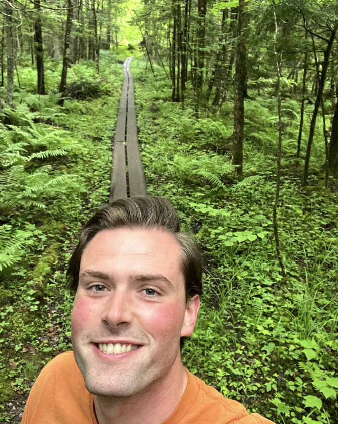
Chris Gaige smiles on a long boardwalk about 0.8 miles into the woods from state Route 3 along the trail to Ampersand Mountain in the town of Harrietstown on Tuesday, July 8. (News photo — Chris Gaige)
Ampersand is part of the Saranac Lake 6er, a hiking challenge that offers a variety of completion patches for hikers able to summit six mountains surrounding Saranac Lake. For more information, visit tinyurl.com/2tmc9uh5.
Hikers should note, however, that one of the other mountains — Scarface — is closed at the moment due to a bridge being washed out along its trail, putting the full challenge on a hiatus.
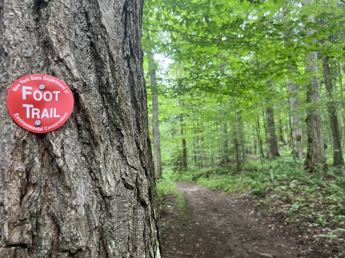
A red trail marker is seen along a level stretch of the Ampersand Mountain trail in the town of Harrietstown on Tuesday, July 8. (News photo — Chris Gaige)
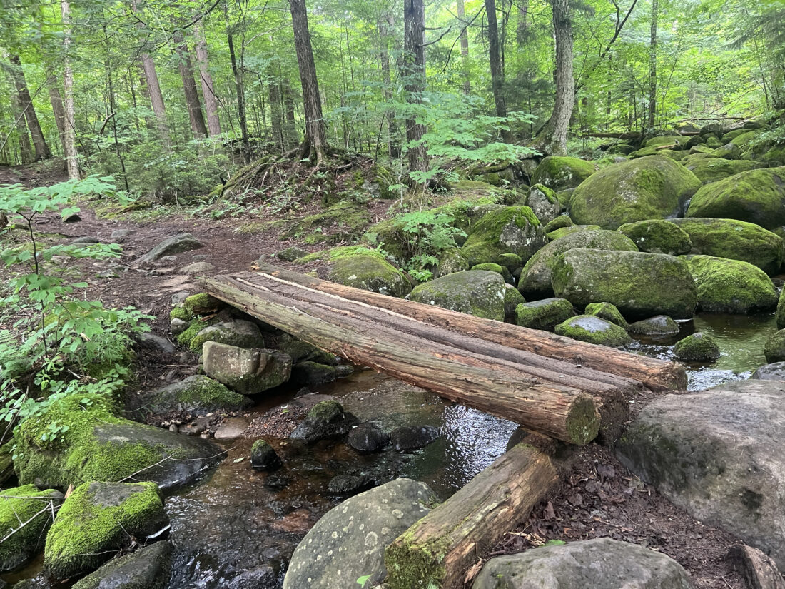
A stream crossing is seen along the Ampersand Mountain trail in the town of Harrietstown on Tuesday, July 8. (News photo — Chris Gaige)
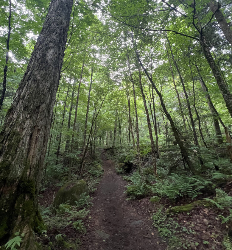
A gently inclined stretch of the Ampersand Mountain trail in the town of Harrietstown on Tuesday, July 8. (News photo — Chris Gaige)
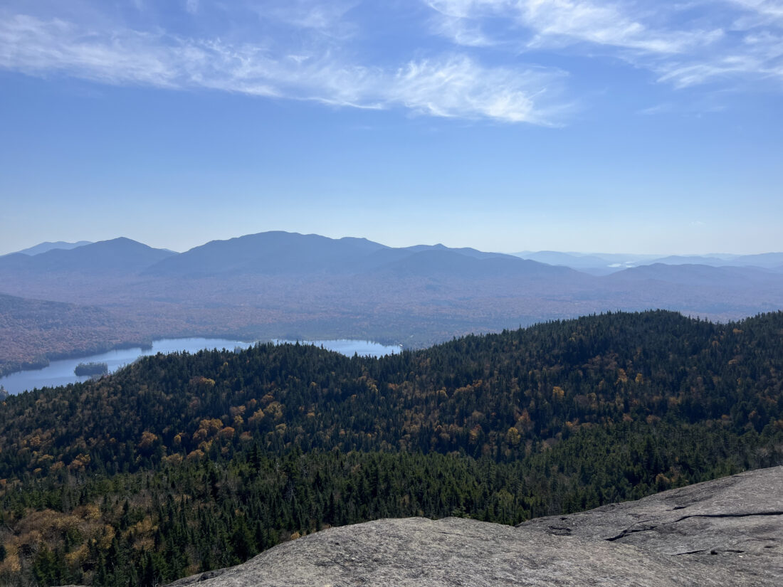
Ampersand Lake and the Seward Range -- which includes, from left, Seymour, Seward, Donaldson mountains and Mount Emmons; all of which are Adirondack High Peaks above 4,000 feet in elevation -- are seen looking to the south from Ampersand Mountain's summit on Oct. 3, 2023. (News photo — Chris Gaige)
Local News

Kirkby is excited to make Olympic history
Festivities planned at Saranac Lake Winter Carnival Ice Palace
DEC plans Avalanche Pass work this summer

Lewis residents sound off at howitzer information session

2026 Milano Cortina Winter Olympics now underway