Winter storm watch in effect for Adirondacks
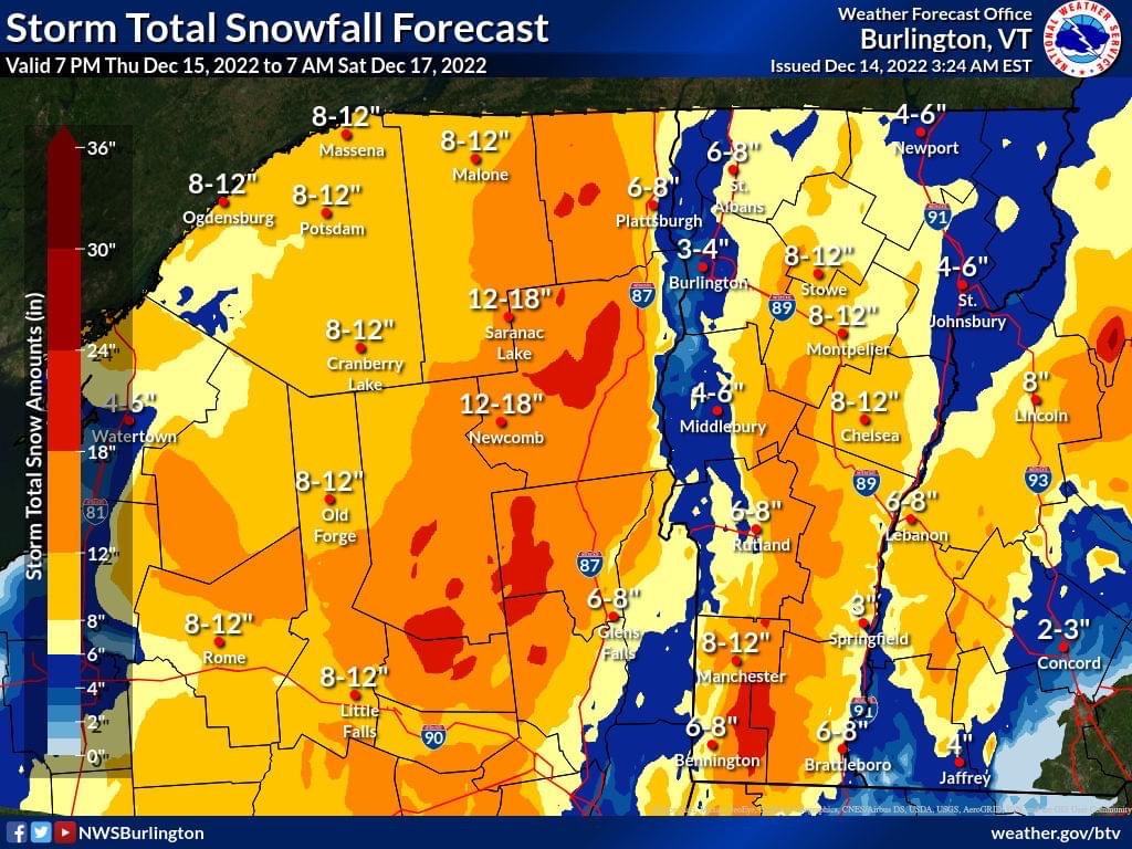
The National Weather Service office in Burlington Wednesday morning issued a winter storm watch for the Adirondack region, including the Tri-Lakes communities of Lake Placid, Saranac Lake and Tupper Lake.
The winter storm watch is in effect from 7 p.m. Thursday, Dec. 15 to 7 a.m. Saturday, Dec. 17. Estimated snow accumulation is between 12 and 18 inches, as of Wednesday morning, with more snowfall at higher elevations.
Thursday is expected to start out partly sunny in the morning, then become mostly cloudy with highs in the mid-30s. There is a near 100% chance of moderate snow accumulation on Thursday night with lows in the upper 20s.
On Friday, the forecast calls for additional heavy snow accumulation with highs in the lower 30s. The chance of snow is near 100%. There is expected to be additional moderate snow accumulation Friday night with lows in the upper 20s.
On Saturday, the forecast calls for a 70% chance of snow showers and highs in the lower 30s. Saturday night through Sunday night, there is a 50% chance of snow showers with lows in the lower 20s.
Local News
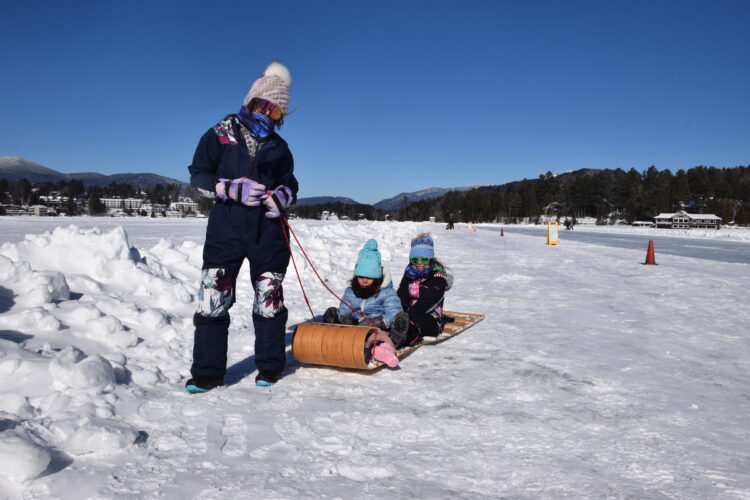
VISITING LAKE PLACID — Sliding to completion
Adirondack organizations to host webinar on wake boat impacts
SARANAC LAKE — Six Adirondack Park-based environmental organizations welcome all to attend a webinar titled ...

Adirondack Roots launches Keene affordable housing complex
DEC summer camp registration opens on March 22
ALBANY — New York State Department of Environmental Conservation Commissioner Amanda Lefton recently announced ...

New York State DEC says ‘safety first’ when ice fishing
